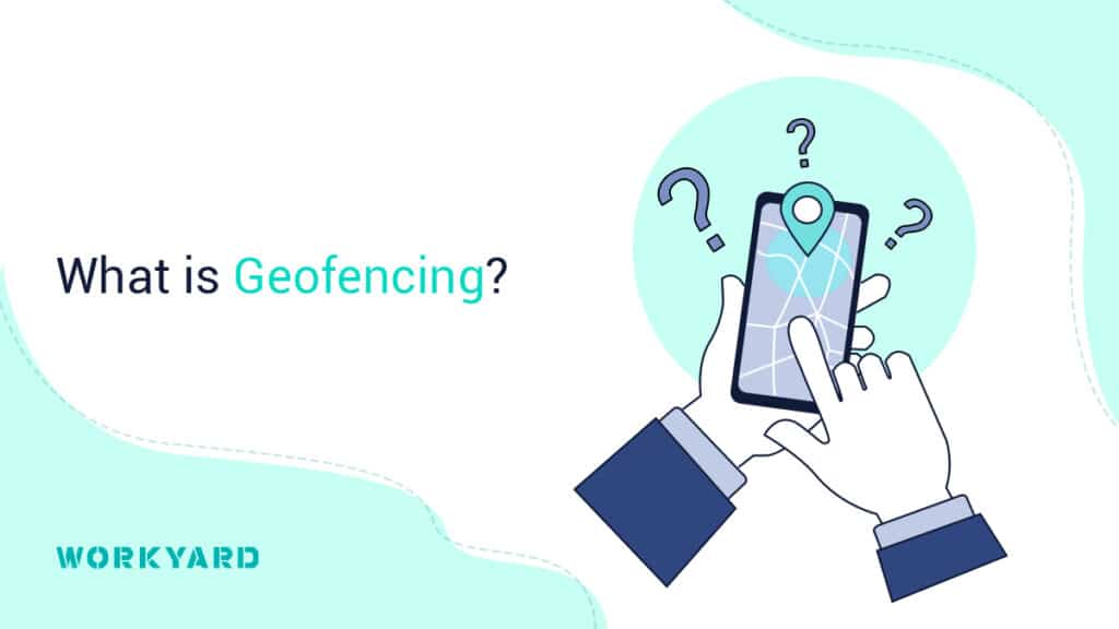
The science behind geofencing allows GPS, Wi-Fi, cellular data, and other location service tracking to determine a device’s location for a specific purpose.
Geofencing is valuable for many reasons such as tracking field personnel, security, client interaction, and advertisement. An example where tracking can come in handy with field personnel is logistics and dispatching. If fieldwork requires employees to make multiple stops in one day, it is helpful for the dispatcher to locate the employee on the map and use it as a resource to dispatch them to the next closest option. This saves time, is more efficient, and can lead to more sales and productivity.
Another way that organizations are taking advantage of geofencing is by tracking the security of their assets. Employees that deliver large quantities of products or sensitive information can be monitored using geofencing to ensure they stay on the planned route and arrive on time. While it might sound a bit like stalking, it is a good business move to hold employees accountable and prevent risk.
Advertising is a third creative way that geofencing is used by organizations. For example, targeted ads can be set to be delivered to a person’s social media account as soon as they enter a certain area, such as a mall or city.
Geofencing is an incredibly powerful tool that is gaining traction with organizations for a plethora of reasons. By utilizing location-based technology, they can build more effective practices, reduce risk, increase sales, and optimize resources.